0 Likes
The world geological park taining Fujian China——zhaixia Grand Canyon
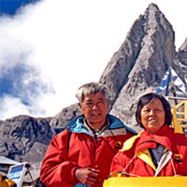
Taining Global Geopark is located in Taining County, in the northwestern part of Fujian Province. Covering an area of 492.5 square kilometers (49,250 hectares), the geopark comprises four major scenic areas, Shiwang, Big Golden Lake, Baxian Cliff and Jinrao Mountain, plus a tour to ancient Taining City.
The park has a number of geological formations and is characterized by the Danxia landform, boasting rough granite, volcanic, and tectonic landscapes. Its unique scenery also attracts a large number of foreign visitors. Some man-made features have made the geopark appear even more impressive, for example that of Shangshudi, the most well-preserved Ming Dynasty folk house in southern China.
http://www.china.org.cn/travel/2013-02/20/content_27987702_15.htm
360-degree panorama photography by yunzeng liu
...
Fujian Province, referred to as "Min ", the provincial capital Fuzhou, southeast China's coastal provinces. Located in the north latitude 23 ° 33 'to 28 ° 20 ', longitude 115 ° 50 'to 120 ° 40 ' between adjacent Zhejiang Province, northeast, west, northwest and bordering Jiangxi Province, Southwest China and Guangdong Province is connected, and east of Taiwan Strait, and across the island. Most things for the 480 km wide, up to about 530 km north-south, the land area of 124,000 square kilometers. Administrative divisions Fujian Province, the Matsu Islands (Matsu), Kinmen Islands (Kinmen County) and Wuchiu Island (an Putian County, Kinmen County hosting), the actual effective control by the Taiwan authorities.